Transit and Accessibility in San Diego
Overview
As a Data Science Consultant for Assistant Professor Leah Meisterlin, I performed spatial analysis and created data visualizations for research on accessibility in mid-size U.S. cities. I decreased data pipeline workflow time by 50% by using Python scripts to automate network analysis and geoprocessing of vector and raster data. I processed data for and assisted with construction of vacuum formed maps for 210 Cities in San Diego exhibition at Carleton University
Project Gallery
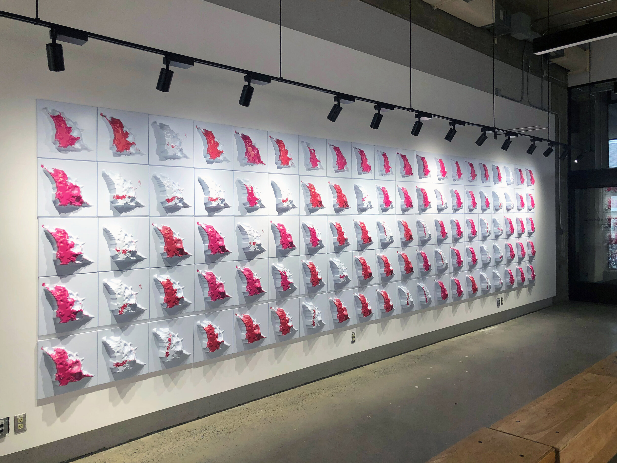
Photo from 210 Cities Exhibition
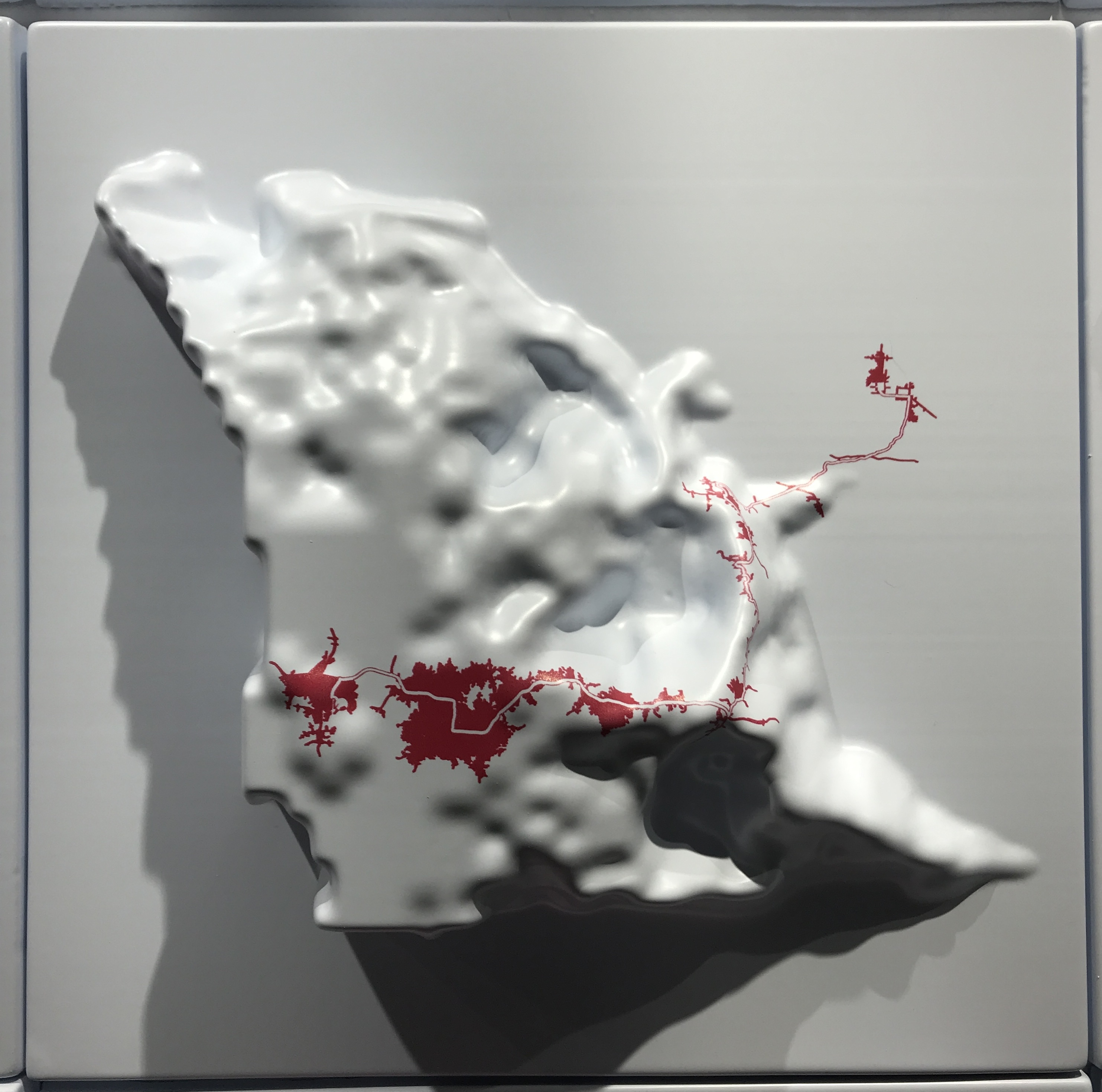
Map of a Single Commute and it's Accessibility
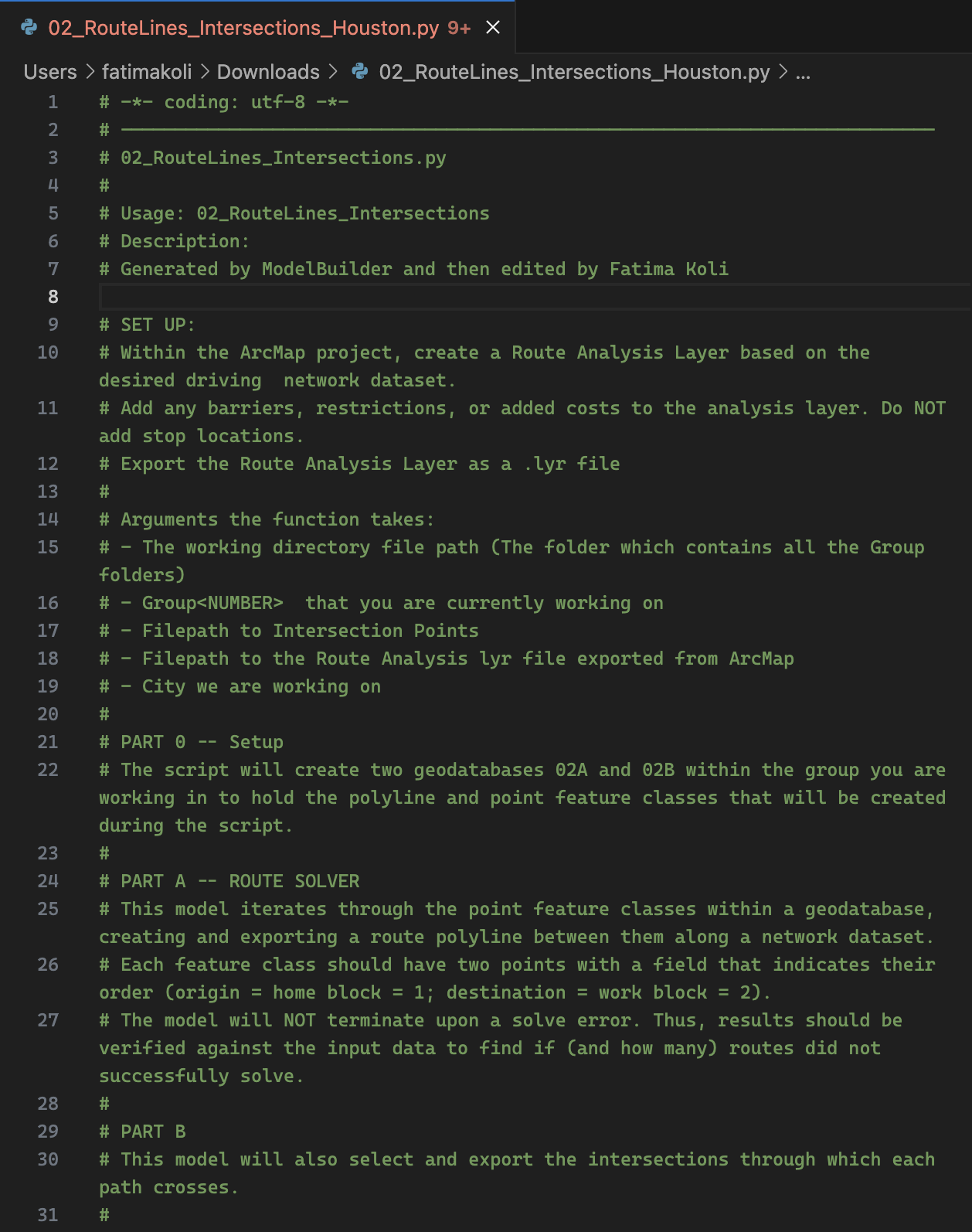
Python Automation Code
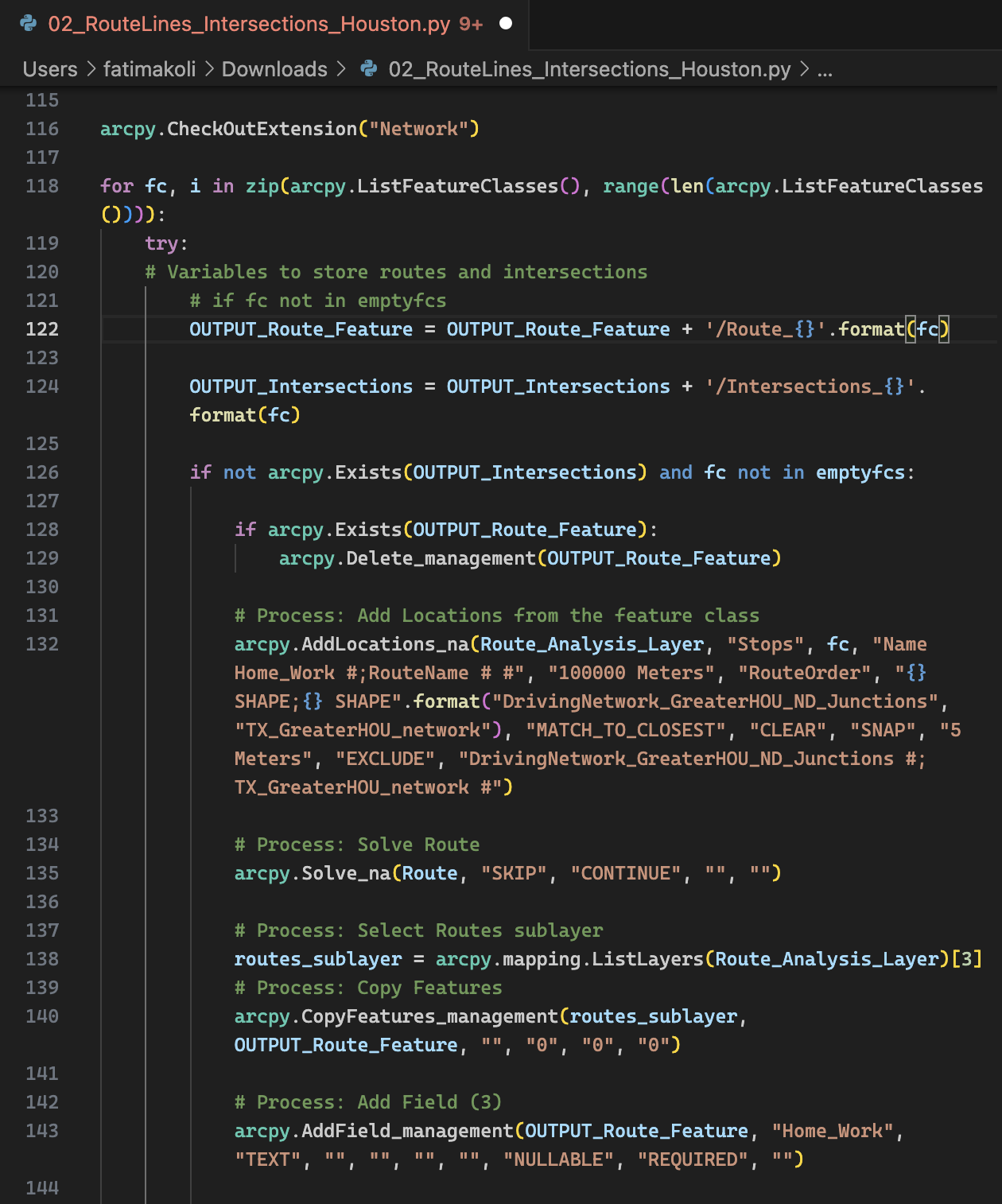
Python Automation Code